
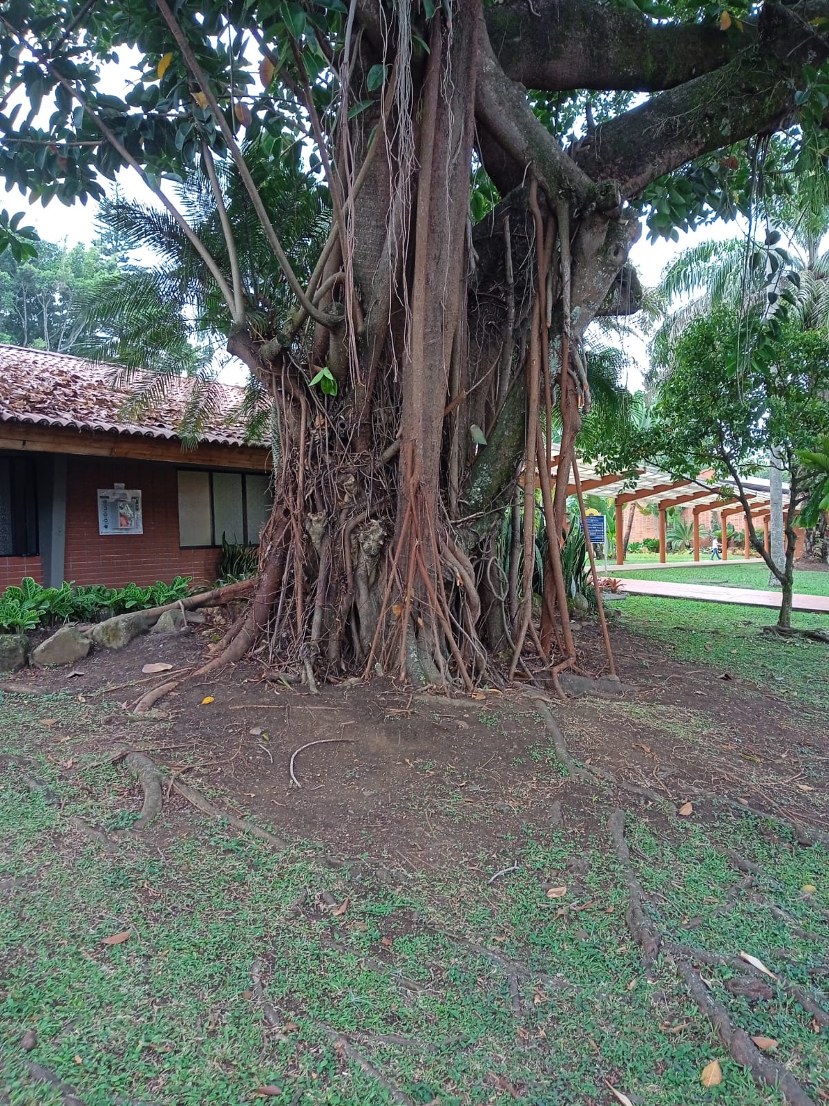
Se imprimieron mapas del campus y se llevaron a la clase de agricultura, y los estudiantes y yo nos pusimos a determinar la ubicación y el tamaño de las áreas adecuadas para realizar el inventario. Se formaron grupos y se les asignó al menos dos áreas específicas de las 21 áreas designadas en el campus. Se incluyeron todas las áreas de la escuela, y los estudiantes van a pedir permiso para realizar su trabajo de inventario.
A continuación se muestra un mapa del campus dividido en áreas específicas para el inventario, y los nombres de los estudiantes se han asignado a áreas específicas para realizar el inventario.
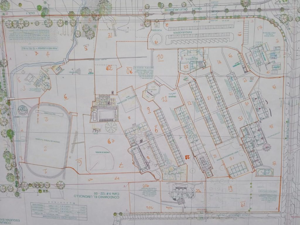
Tabla: Áreas zonificadas con estudiantes trabajando en esas áreas
| Zona | Estudiantes | Areas |
| 1 &7 | Gabriella Gomez and Juan Esteban Martinez |
Path from Science building and J Block to the sports field, compost areas up until the river (1) Baseball field and surroundings (7) |
| 2 & 3 | Maria Alejandra Garcia and Tomas Jaramillo |
Cancha 1, upto and across the river to the boundary fence, up to the Kiosko (2). Director´s house (3) |
| 4, 5 & 6 | Xiomarra Covarrubias, Sara Escobar and Juan Jose Arellano |
Cancha 2 up to the river and boundary fences (4) The school garden (5) From the race track upto the school garden and cancha 2, including Cacao hill (6) |
| 8 & 9 | Martina Camacho and Melisa Londoño |
Middle School areas. All area between J, K and I blocks, swimming pool areas and Green Point areas. (8) High school area. All area between I and H block, up to SW side of Swall. (9) |
| 11 & 12 | Manuela Borerro & Juan Diego Arias |
Between high School and counselling offices including cafeteria – up to el Nido and Swall and Sunflowers. (11) Between G and F blocks, from the library to Mafalda and fence with El Nido (12). |
| 13 & 14 | Karime Assis and Alejandro Ortiz |
Primary blocks (F and E) around the back of the library to the Mango Tree (13). From transport and maintenance offices, and surrounding Rectoria (14). |
| 15 & 16 | Maria Jose Garcia and Jonah Keller |
From the north facing side of Rectoria towards pre primary between Blocks B and C (15). The back of Pre-primary up to and including the Atelier (16). |
| 18 & 17 | Laura Bustamente and Santiago Botero |
Maintenance areas, cafeteria (17). The main car park, Porteria 1 and alongside the library (18). |
| 19 & 20 a,b | Maria Antonia Cardona and Martin Mejia |
Primary football fields to the boundary fences (19). El Nido (20a) Limoncillo car park (20b) |
| 21 & 10 | Carmen Losada and Nicolas Ossma |
Between the library and the Swall up to the fence construction (10). Construction area bounded by Zones 5, 8, 10 and 18 (21) |
Se convocó a una sesión sobre cómo recopilar datos y, a través de sesiones de preguntas y respuestas, los estudiantes desarrollaron ideas de cómo iban a llevar a cabo la recopilación de datos. Se va a utilizar el uso de Google Sheets, Google Photos, para registrar árboles. Además de esto, los estudiantes tomarán notas sobre cada árbol en el que recopilen datos y lo marcarán en su sección específica del mapa. Esto llevará a que se dibuje un mapa con todos los árboles marcados en él.